
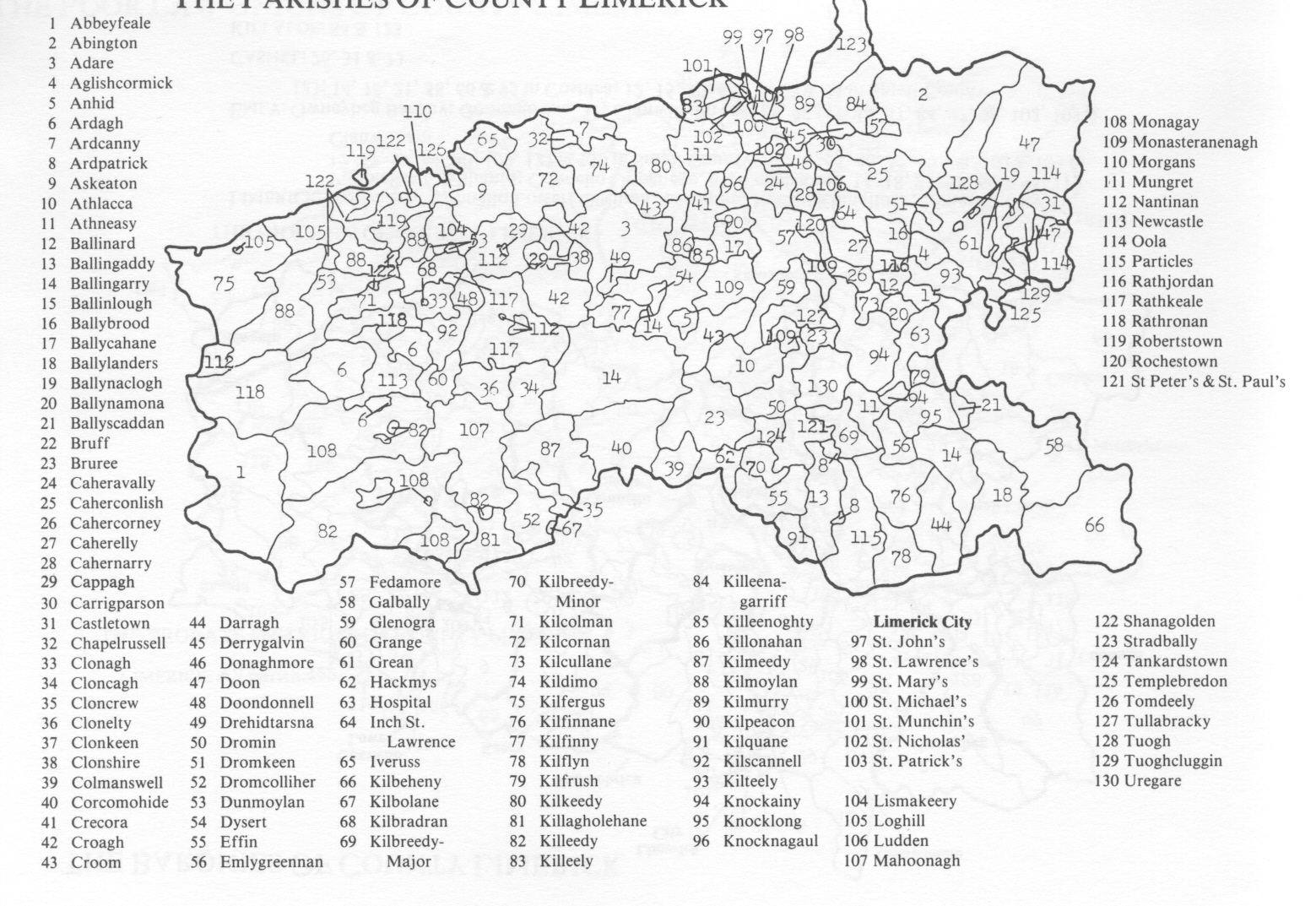
County limerick
Civil Parishes
This map can be saved by putting your arrow in the
map and click the right button of your mouse.
Civil Parish
From the 17th century the civil parish was used extensively in various surveys. By 1841 the population of Ireland had risen to 8,175,124 and this was reflected in changing parish boundaries. New parishes were created by either subdividing larger ones or by withdrawing townlands from adjoining parishes. The Roman Catholic Church had to adapt itself to the structure centered on towns and villages. Civil Parishes frequently break both barony and county boundaries, indicating they were drawn up at an earlier period.